VISION43

Shaping the Future of the Highway 43 Corridor
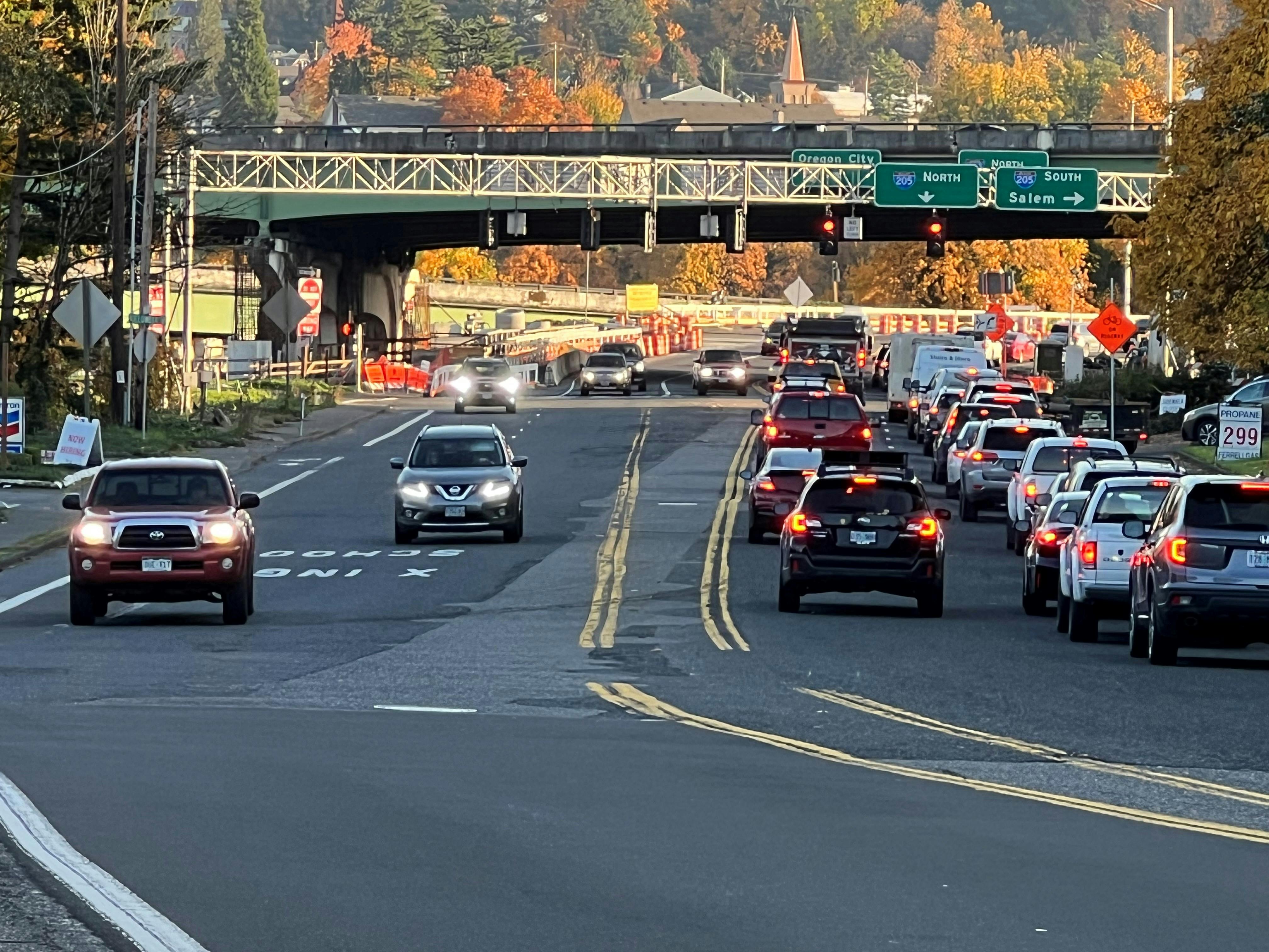
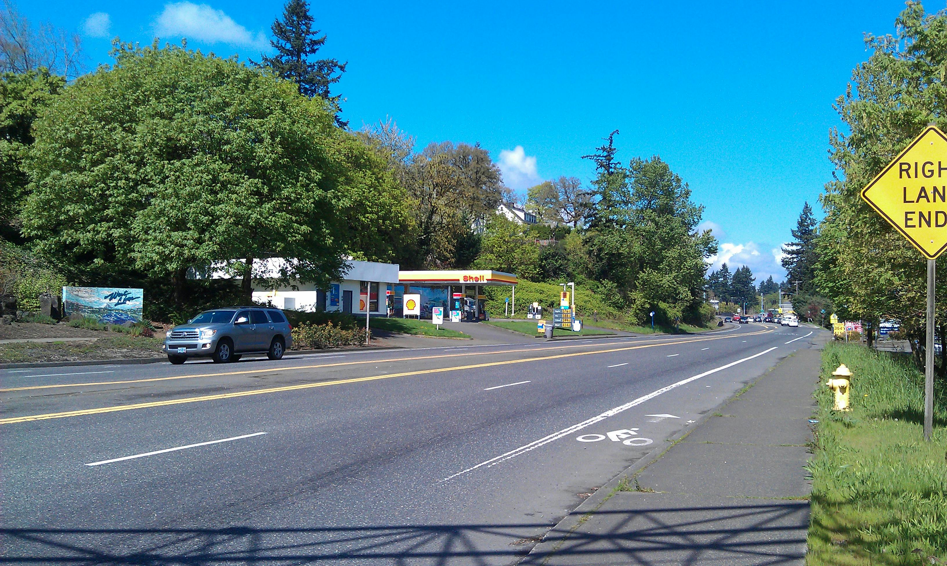
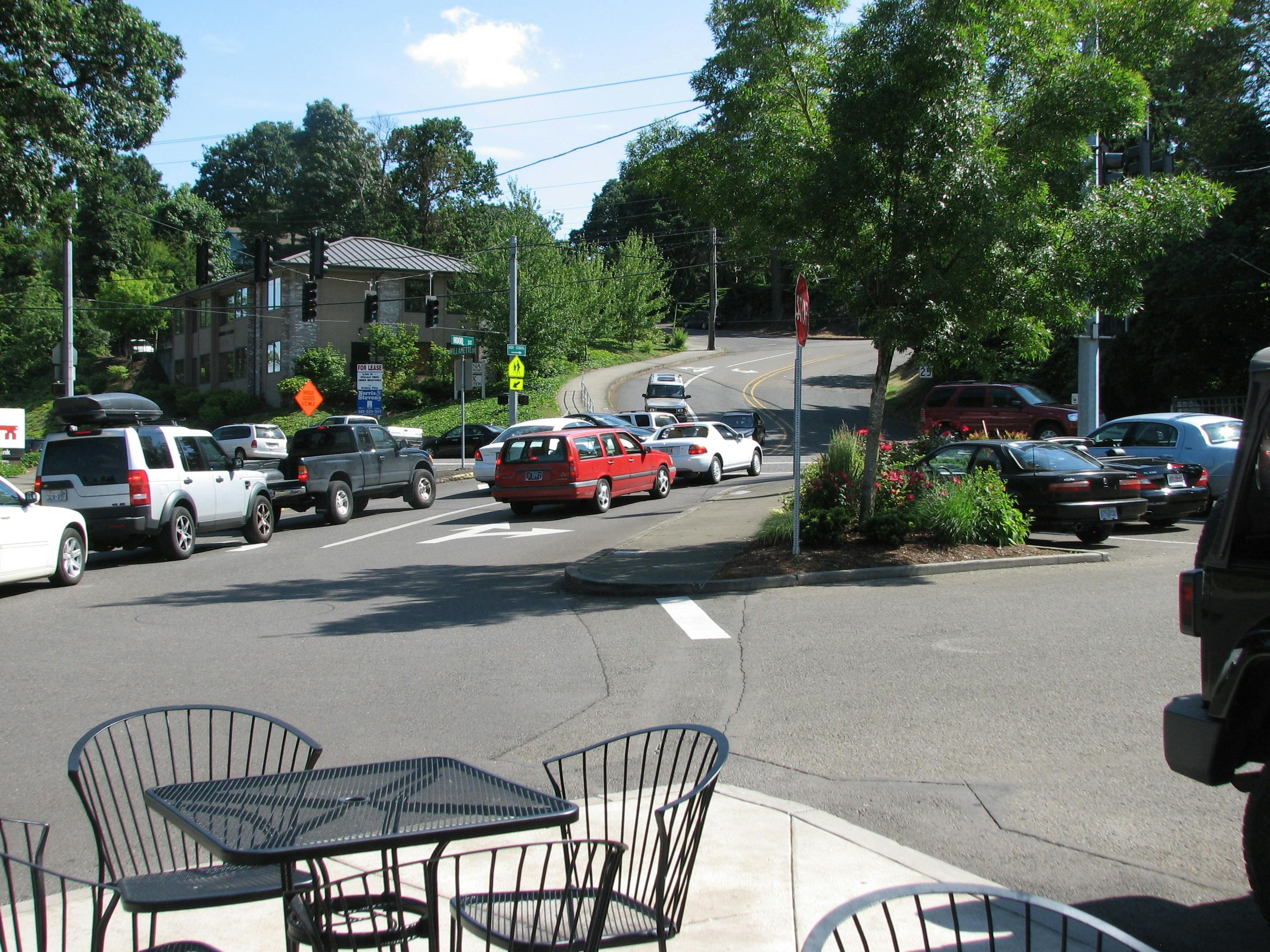
West Linn and the community are collaborating on VISION43, a bold plan to revitalize the Highway 43 corridor focusing on creating a sense of place and local identity, ensuring safe crossings, promoting vibrant commerce, and establishing pedestrian networks and enhancing neighborhood connections. By planning for the future of Highway 43, the City can ensure that the corridor evolves to meet the needs of its residents, supports economic growth, and maintains a high standard of safety and sustainability. Since October 2023, West Linn community and the Project Team have been crafting a new mixed-use zone to help revitalize the corridor with diverse housing, workplaces, shops, and community spaces.
PROJECT GOALS
Create a New Community Vision for Highway 43:
Promote development of diverse housing options, parks, shops, and workspaces for people of all ages, incomes, and abilities
Identify Necessary Zoning Changes to Implement the Community's VIsion
Facilitate the development of thriving mixed uses that cater to the community needs, contributing to a vibrant local economy
Ensures Safe Crossing Points and Neighborhood Connections:
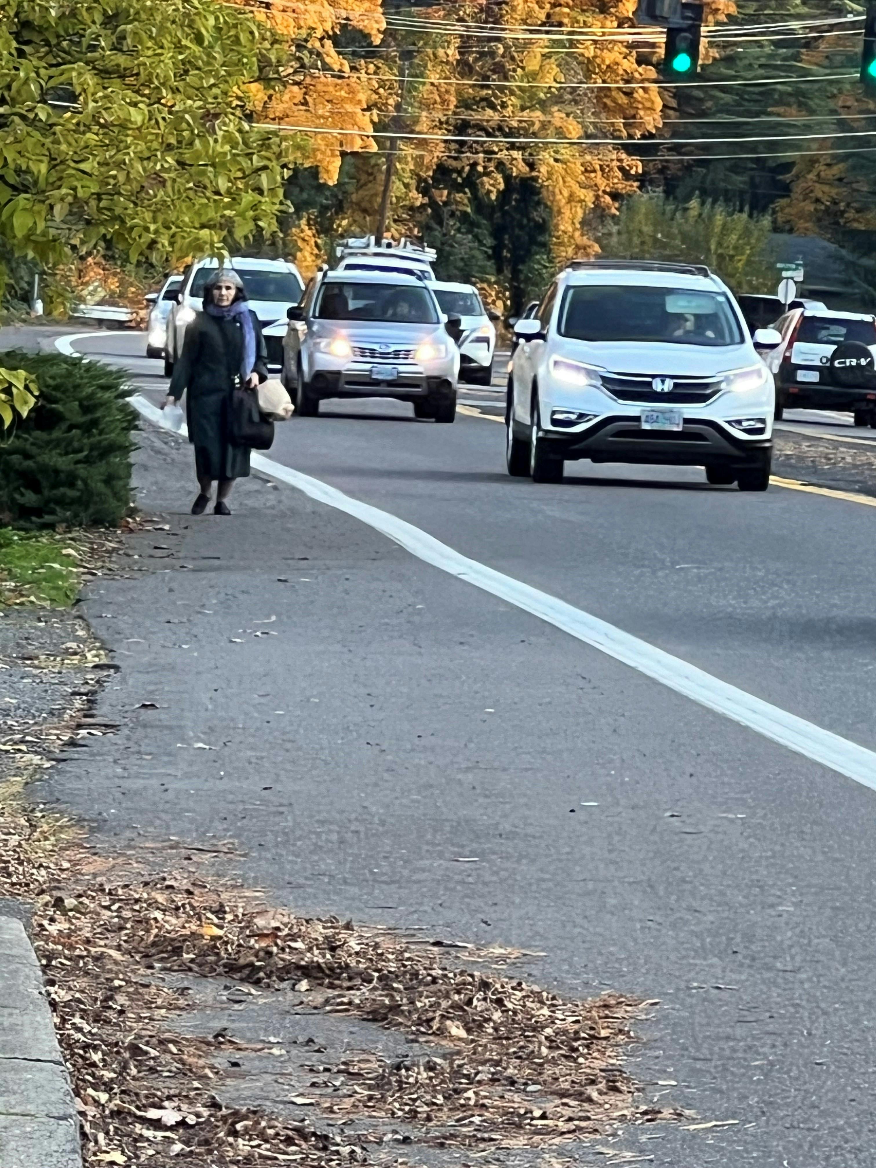
Identify near-term and long-term safe crossing points on Highway 43 for all modes of transportation
Establish pedestrian connections that seamlessly link residents to essential goods and services and to neighboring communities, enhancing overall connectivity
Amend Development Code to Align with the Vision

PLANNING AREA
The VISION43 planning area consists of the 3.3-mile corridor from the I-205 interchange to the West Linn/Lake Oswego border.
PROJECT PROGRESS
Over the past 24 months, the Vision43 project team has crafted a draft of a new mixed-use code for the Highway 43 corridor, shaped by extensive community input. The draft new code reflects the input from the community, staff, the Technical Advisory Committee (TAC), and the project working group. The project working group will meet in November to finalize recommendations for the draft before public open houses in early 2026.
The current working draft code continues to evolve, with recent discussions focused on:
- Limiting drive-through uses
- Expansion and remodels of existing structures
- Setting height limits near residential zones
- Preventing a “canyon” or “tunnel” effect in building design
- Clarifying the exceptions process
- Prioritizing pedestrian access to and through sites
- Carefully defining allowed uses near residential areas
- Maintaining flexibility for development consistent with the community’s vision
UPDATED PROJECT SCHEDULE
To allow for more community engagement on the project the timeline for completion now extends to July 2026. Key milestones include:
- Technical Advisory Committee Outreach and Project Working Group Meeting: November 2025
- Robinwood & Bolton Neighborhood Association Meetings: October & November 2025 and January 2026
- Two Community Open Houses: January & February 2026
- Planning Commission Work Sessions & Recommendation: February – April 2026
- City Council Work Session & Decision: May – July 2026
PHASED REZONING APPROACH
In response to community feedback, the City and consultant team are refining the Highway 43 rezoning process into phases to provide greater transparency and make it easier for everyone to engage.
Phase 1:
- Focus on rezoning existing commercially zoned properties along Highway 43 to mixed-use and developing new development code requirements for the area to be completed by July 2026
Phase 2:
- Explore rezoning some residential properties within the Focus areas of Highway 43 to mixed use. This Phase will include tailored outreach to individual property owners to discuss zoning options, gather feedback, and address specific property concerns. Phase 2 would begin after Phase 1 is complete sometime in 2027 or 2028.
NEXT STEPS
The project team will present the proposed new mixed use code at community open houses in January and February 2026.
Together, we are shaping a long-term vision for Highway 43 — one that strengthens local identity, improves safety and connectivity, supports vibrant commerce, and enhances the pedestrian experience.


