
VISION43
Shaping the Future of the Highway 43 Corridor
West Linn and the community are collaborating to reimagine Highway 43 to prioritize a safe and accessible environment for people to comfortably walk, bike, and roll; encouraging development patterns that give people a variety of options to move within the corridor and enhancing connections and access to neighborhoods and surrounding areas, and developing the corridor to serve as a hub for living, working, and recreational activities, featuring a mix of housing, shopping, restaurants, and recreational spaces.
PROJECT GOALS
The primary goal of the VISION 43 is to engage the community to reimagine Highway 43 as a safer, more accessible corridor:
Create a New Community Vision for Highway 43:
Promote development of diverse housing options, parks, shops, and workspaces for people of all ages, incomes, and abilities
Identify Necessary Zoning Changes to Implement the Community's VIsion
Facilitate the development of thriving mixed uses that cater to the community needs, contributing to a vibrant local economy
Ensures Safe Crossing Points and Neighborhood Connections:
Identify near-term and long-term safe crossing points on Highway 43 for all modes of transportation
Establish pedestrian connections that seamlessly link residents to essential goods and services and to neighboring communities, enhancing overall connectivity
Amend Development Code to Align with the Vision
Create a new mixed-use zoning along the corridor

PLANNING AREA
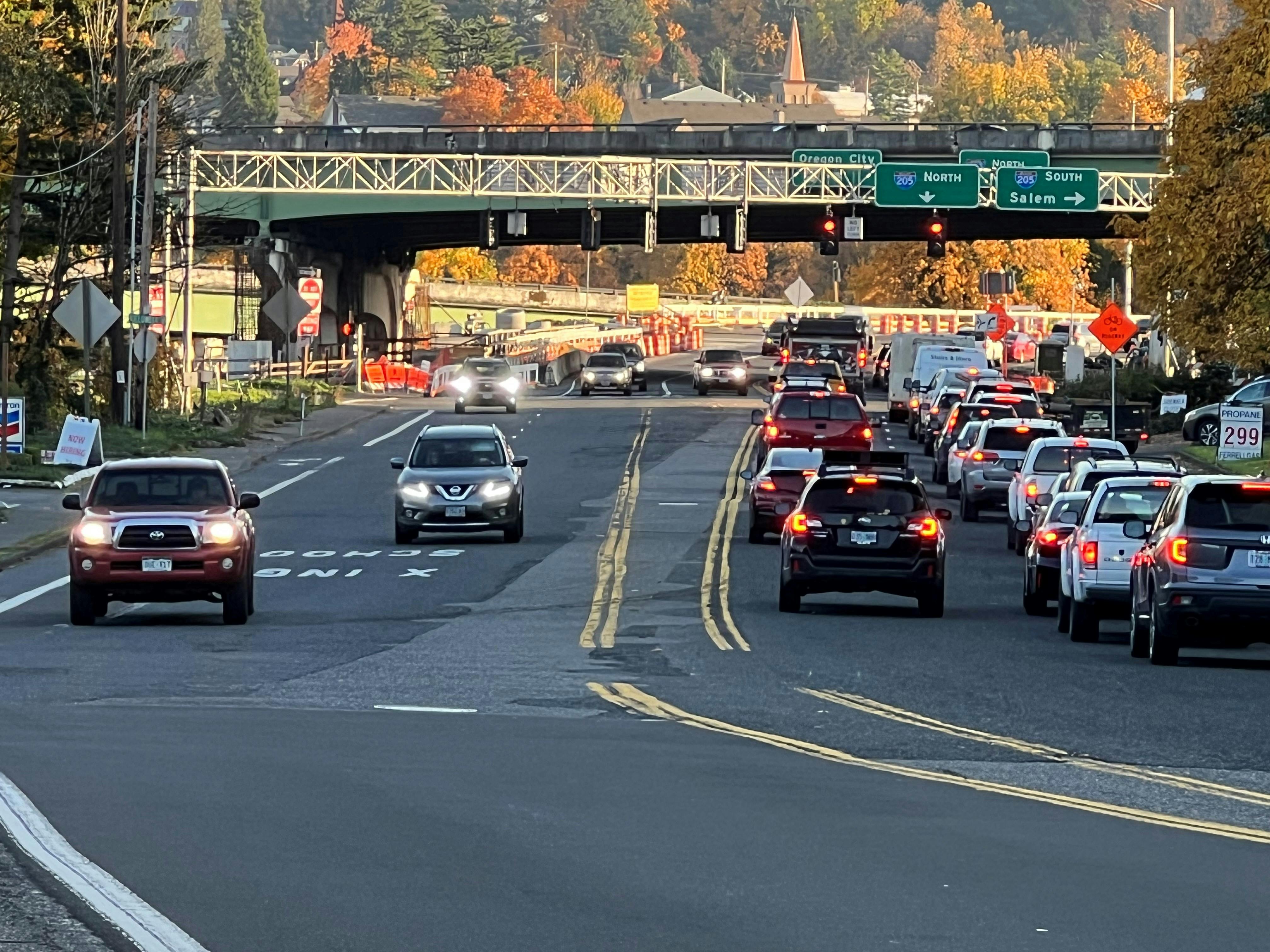
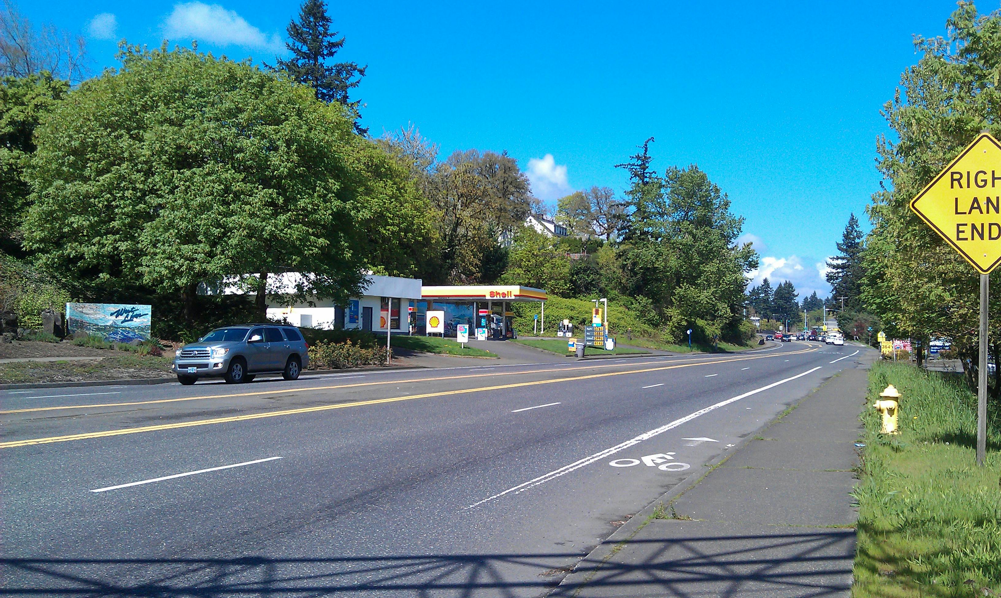
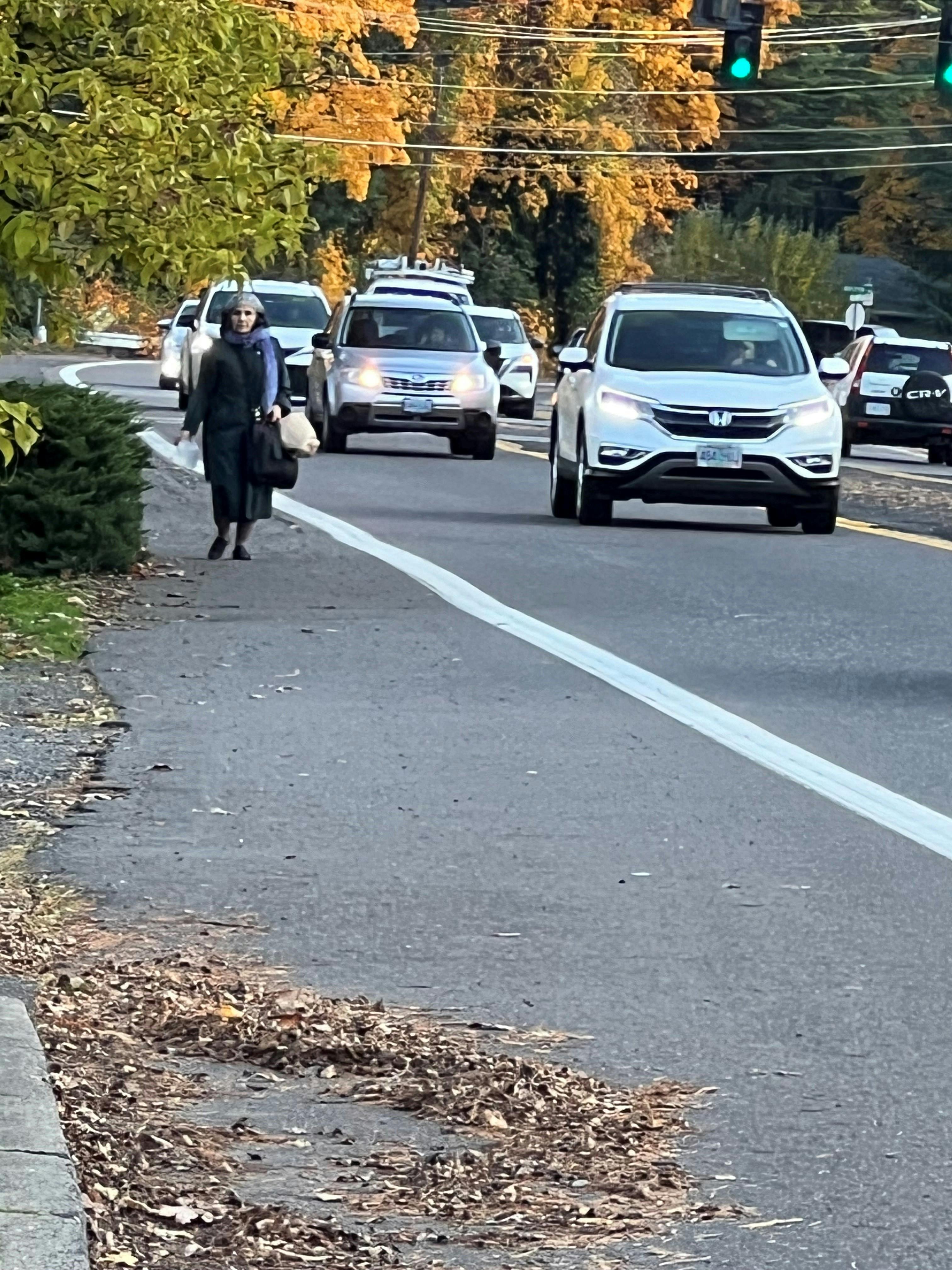
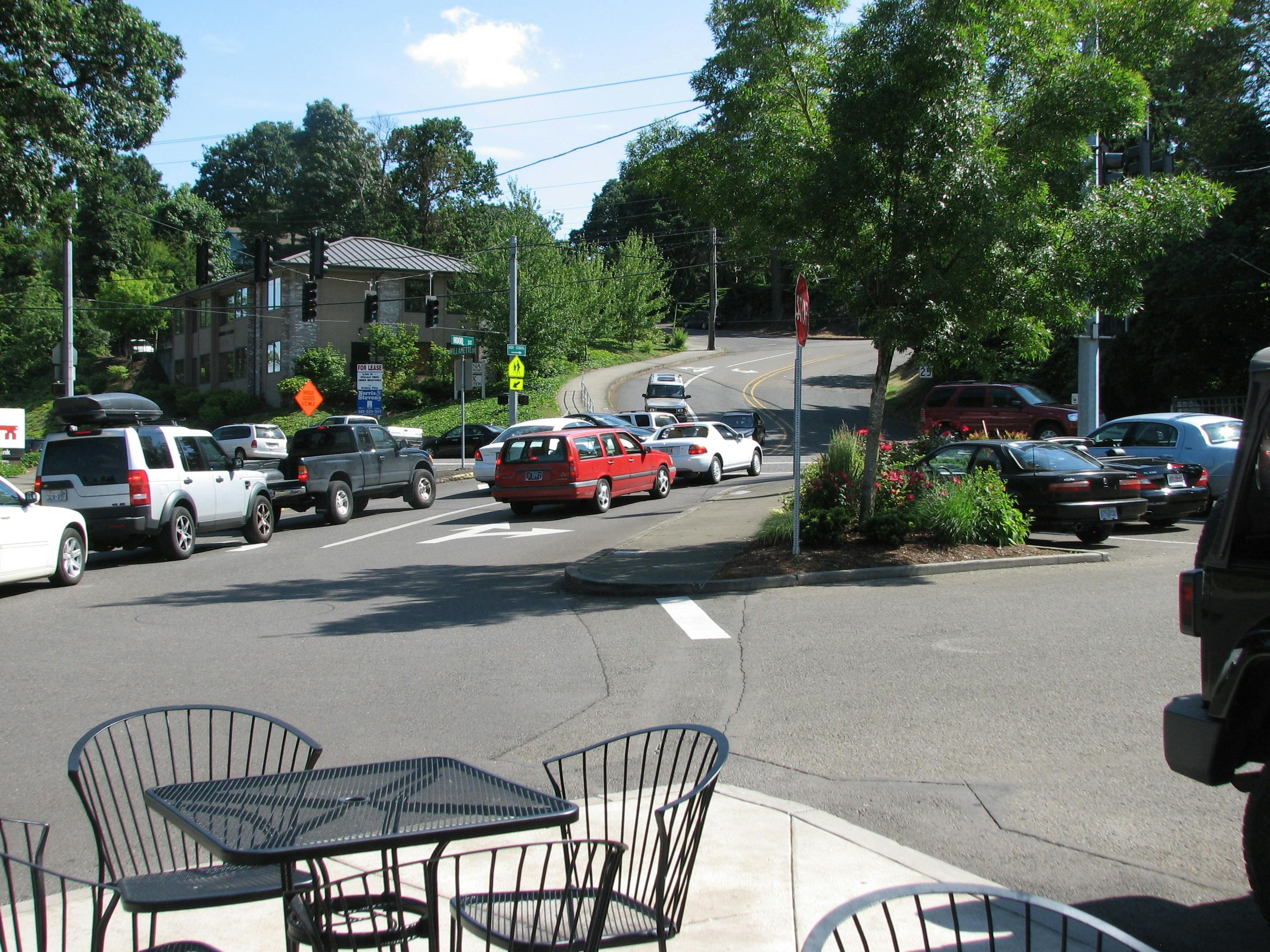
The VISION43 planning area consists of the 3.3-mile corridor on Highway 43 from the I-205 interchange to the West Linn/Lake Oswego border. Pedestrian and bicycle improvements and neighborhood connectivity are identified along the highway throughout the planning area.
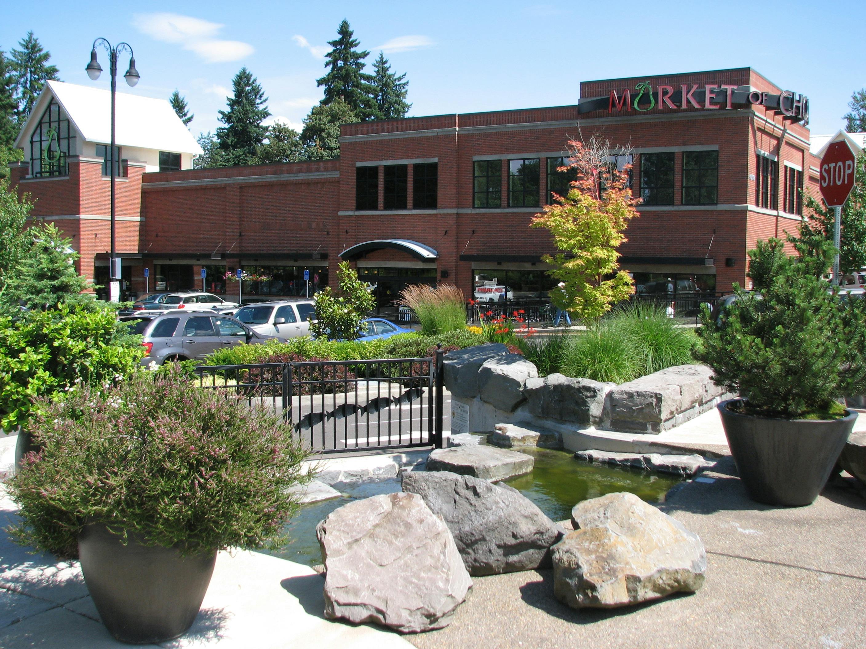
Additionally, a new mixed-use zone is proposed within three focus areas along Highway 43 - Bolton/Market of Choice, Old Bolton Fire Station/ State Farm, and Robinwood/ Walmart/Sourdough Willys. In these areas, mixed-use development could occur, along with targeted transportation safety and connectivity improvements. Rezoning would primarily apply to properties currently zoned or used for commercial purposes.
PROJECT PROGRESS
Over the past 24 months, the Vision 43 project team has developed a draft mixed-use code for the Highway 43 corridor, shaped by extensive community engagement. The draft reflects input from residents and stakeholders, City staff, the Technical Advisory Committee (TAC), and the project working group. The City received feedback on the draft Vision Plan to revitalize the Highway 43 corridor at two open houses held in January and February 2026. The project team is incorporating that input and updating the draft code to reflect community feedback.
Together, we are shaping a long-term vision for Highway 43—one that strengthens local identity, improves safety and connectivity, supports vibrant commercial activity, and creates a more welcoming pedestrian experience.
Shaping the Future of the Highway 43 Corridor
West Linn and the community are collaborating to reimagine Highway 43 to prioritize a safe and accessible environment for people to comfortably walk, bike, and roll; encouraging development patterns that give people a variety of options to move within the corridor and enhancing connections and access to neighborhoods and surrounding areas, and developing the corridor to serve as a hub for living, working, and recreational activities, featuring a mix of housing, shopping, restaurants, and recreational spaces.
PROJECT GOALS
The primary goal of the VISION 43 is to engage the community to reimagine Highway 43 as a safer, more accessible corridor:
Create a New Community Vision for Highway 43:
Promote development of diverse housing options, parks, shops, and workspaces for people of all ages, incomes, and abilities
Identify Necessary Zoning Changes to Implement the Community's VIsion
Facilitate the development of thriving mixed uses that cater to the community needs, contributing to a vibrant local economy
Ensures Safe Crossing Points and Neighborhood Connections:
Identify near-term and long-term safe crossing points on Highway 43 for all modes of transportation
Establish pedestrian connections that seamlessly link residents to essential goods and services and to neighboring communities, enhancing overall connectivity
Amend Development Code to Align with the Vision
Create a new mixed-use zoning along the corridor
PLANNING AREA
The VISION43 planning area consists of the 3.3-mile corridor on Highway 43 from the I-205 interchange to the West Linn/Lake Oswego border. Pedestrian and bicycle improvements and neighborhood connectivity are identified along the highway throughout the planning area.
Additionally, a new mixed-use zone is proposed within three focus areas along Highway 43 - Bolton/Market of Choice, Old Bolton Fire Station/ State Farm, and Robinwood/ Walmart/Sourdough Willys. In these areas, mixed-use development could occur, along with targeted transportation safety and connectivity improvements. Rezoning would primarily apply to properties currently zoned or used for commercial purposes.
PROJECT PROGRESS
Over the past 24 months, the Vision 43 project team has developed a draft mixed-use code for the Highway 43 corridor, shaped by extensive community engagement. The draft reflects input from residents and stakeholders, City staff, the Technical Advisory Committee (TAC), and the project working group. The City received feedback on the draft Vision Plan to revitalize the Highway 43 corridor at two open houses held in January and February 2026. The project team is incorporating that input and updating the draft code to reflect community feedback.
Together, we are shaping a long-term vision for Highway 43—one that strengthens local identity, improves safety and connectivity, supports vibrant commercial activity, and creates a more welcoming pedestrian experience.
Question? We want to hear from you!
VISION43 intended as a long-term guide for land use along Highway 43 for the next 50 years. Ask your questions here.
-
Share Regarding Focus Area 2, Phase 2 : Two lots identified as Phase 2, located southeast of the intersection of Willamette Drive and Caufield Street. One lot is residential and currently occupied; the second lot is owned by the City of WL and is undeveloped. Bolton Creek is located on the southern edge of the undeveloped lot. When this parcel is developed at some point in the future, what will happen to Bolton Creek? The City sometimes prides itself on its stewardship of the natural environment, including streams & creeks. Will this last remaining section of Bolton Creek be treated in the same manner as 90% of the waterway -- by routing it through a network of underground pipe? That is not a dignified fate for Bolton Creek when other named creeks and waterways are preserved and celebrated... on Facebook Share Regarding Focus Area 2, Phase 2 : Two lots identified as Phase 2, located southeast of the intersection of Willamette Drive and Caufield Street. One lot is residential and currently occupied; the second lot is owned by the City of WL and is undeveloped. Bolton Creek is located on the southern edge of the undeveloped lot. When this parcel is developed at some point in the future, what will happen to Bolton Creek? The City sometimes prides itself on its stewardship of the natural environment, including streams & creeks. Will this last remaining section of Bolton Creek be treated in the same manner as 90% of the waterway -- by routing it through a network of underground pipe? That is not a dignified fate for Bolton Creek when other named creeks and waterways are preserved and celebrated... on X (formerly Twitter) Share Regarding Focus Area 2, Phase 2 : Two lots identified as Phase 2, located southeast of the intersection of Willamette Drive and Caufield Street. One lot is residential and currently occupied; the second lot is owned by the City of WL and is undeveloped. Bolton Creek is located on the southern edge of the undeveloped lot. When this parcel is developed at some point in the future, what will happen to Bolton Creek? The City sometimes prides itself on its stewardship of the natural environment, including streams & creeks. Will this last remaining section of Bolton Creek be treated in the same manner as 90% of the waterway -- by routing it through a network of underground pipe? That is not a dignified fate for Bolton Creek when other named creeks and waterways are preserved and celebrated... on Linkedin Email Regarding Focus Area 2, Phase 2 : Two lots identified as Phase 2, located southeast of the intersection of Willamette Drive and Caufield Street. One lot is residential and currently occupied; the second lot is owned by the City of WL and is undeveloped. Bolton Creek is located on the southern edge of the undeveloped lot. When this parcel is developed at some point in the future, what will happen to Bolton Creek? The City sometimes prides itself on its stewardship of the natural environment, including streams & creeks. Will this last remaining section of Bolton Creek be treated in the same manner as 90% of the waterway -- by routing it through a network of underground pipe? That is not a dignified fate for Bolton Creek when other named creeks and waterways are preserved and celebrated... link
Regarding Focus Area 2, Phase 2 : Two lots identified as Phase 2, located southeast of the intersection of Willamette Drive and Caufield Street. One lot is residential and currently occupied; the second lot is owned by the City of WL and is undeveloped. Bolton Creek is located on the southern edge of the undeveloped lot. When this parcel is developed at some point in the future, what will happen to Bolton Creek? The City sometimes prides itself on its stewardship of the natural environment, including streams & creeks. Will this last remaining section of Bolton Creek be treated in the same manner as 90% of the waterway -- by routing it through a network of underground pipe? That is not a dignified fate for Bolton Creek when other named creeks and waterways are preserved and celebrated...
Jay8621 asked 4 months agoThank you for your question and for highlighting the importance of Bolton Creek. The proposed development standards do not reduce or override existing environmental protections for Bolton Creek or any other environmentally sensitive area. Any future development would still be subject to the City’s environmental review, which includes requirements to protect streams, manage stormwater, and preserve habitat.
-
Share What are the plans for bike lanes from the I-205 Bridge to the city limits at Marylhurst? on Facebook Share What are the plans for bike lanes from the I-205 Bridge to the city limits at Marylhurst? on X (formerly Twitter) Share What are the plans for bike lanes from the I-205 Bridge to the city limits at Marylhurst? on Linkedin Email What are the plans for bike lanes from the I-205 Bridge to the city limits at Marylhurst? link
What are the plans for bike lanes from the I-205 Bridge to the city limits at Marylhurst?
Rotharman asked 5 months agoThe 2016 Oregon 43 Concept Design Plan outlines the long-term design for the Highway 43 cross section. The plan, which extends from I-205 to the Lake Oswego border, includes a 7-foot cycle track on both sides of the highway.
-
Share The topographical corridor cross-section diagram shows a 2 story residential dwelling to the left, south and west of the proposed development but my home is only a single story dwelling on Wilderness Drive. Have you considered adjusting the diagram to reflect this reality? Do you see the transition of single story dwelling to 3-4 story dwelling next door compatible with the Wilderness Drive neighborhood? on Facebook Share The topographical corridor cross-section diagram shows a 2 story residential dwelling to the left, south and west of the proposed development but my home is only a single story dwelling on Wilderness Drive. Have you considered adjusting the diagram to reflect this reality? Do you see the transition of single story dwelling to 3-4 story dwelling next door compatible with the Wilderness Drive neighborhood? on X (formerly Twitter) Share The topographical corridor cross-section diagram shows a 2 story residential dwelling to the left, south and west of the proposed development but my home is only a single story dwelling on Wilderness Drive. Have you considered adjusting the diagram to reflect this reality? Do you see the transition of single story dwelling to 3-4 story dwelling next door compatible with the Wilderness Drive neighborhood? on Linkedin Email The topographical corridor cross-section diagram shows a 2 story residential dwelling to the left, south and west of the proposed development but my home is only a single story dwelling on Wilderness Drive. Have you considered adjusting the diagram to reflect this reality? Do you see the transition of single story dwelling to 3-4 story dwelling next door compatible with the Wilderness Drive neighborhood? link
The topographical corridor cross-section diagram shows a 2 story residential dwelling to the left, south and west of the proposed development but my home is only a single story dwelling on Wilderness Drive. Have you considered adjusting the diagram to reflect this reality? Do you see the transition of single story dwelling to 3-4 story dwelling next door compatible with the Wilderness Drive neighborhood?
WildernessDriveTaxPayer asked 5 months agoThank you for your question. The cross-section diagrams in the draft Vision Plan are illustrative and are not intended to represent specific properties or existing building conditions, including the number of stories of nearby homes.
The draft code includes standards designed to manage transitions between different types of development. Currently, it specifies that when a development abuts a residential zone, the setback required for that residential zone applies. For example, in an R-10 zone, this would mean a 20-foot setback from the property line. These provisions are still under review and may be revised before the code is adopted.
-
Share What is the latest on a signal at Pimlico and 43? The ability to make left turns from Pimlico is increasingly difficult, and more residents of the area detour to Hidden Springs to go northbound on 43. This results in backup at that signal (which has a short green time), and congestion with vehicles to/from Walmart and other retail. Thank you. on Facebook Share What is the latest on a signal at Pimlico and 43? The ability to make left turns from Pimlico is increasingly difficult, and more residents of the area detour to Hidden Springs to go northbound on 43. This results in backup at that signal (which has a short green time), and congestion with vehicles to/from Walmart and other retail. Thank you. on X (formerly Twitter) Share What is the latest on a signal at Pimlico and 43? The ability to make left turns from Pimlico is increasingly difficult, and more residents of the area detour to Hidden Springs to go northbound on 43. This results in backup at that signal (which has a short green time), and congestion with vehicles to/from Walmart and other retail. Thank you. on Linkedin Email What is the latest on a signal at Pimlico and 43? The ability to make left turns from Pimlico is increasingly difficult, and more residents of the area detour to Hidden Springs to go northbound on 43. This results in backup at that signal (which has a short green time), and congestion with vehicles to/from Walmart and other retail. Thank you. link
What is the latest on a signal at Pimlico and 43? The ability to make left turns from Pimlico is increasingly difficult, and more residents of the area detour to Hidden Springs to go northbound on 43. This results in backup at that signal (which has a short green time), and congestion with vehicles to/from Walmart and other retail. Thank you.
Tcw asked 6 months agoThe addition of a traffic light is an option highlighted in our long-term conceptual plan for Highway 43. However, Highway 43 is a State-owned facility and changes would have to be done in coordination with the State. As of now, we do not have the funds for such a project and do not foresee having such a project in the near future.
-
Share The City of Portland went through a similar mixed use legislative mixed use commercial rezoning (I recall a corridor in outer SE Portland). One of the difficulties that staff and developers ran into was the shallow depth of frontage properties, and the resulting difficulty of providing vehicle access and parking. Specifically, without on street parking (or public parking lots), smaller/shallow commercial properties are challenging to integrate structured parking even if it’s cost effective. Further, this type of mixed use commercial development forces multiple vehicle access points which is not feasible on a high volume roadway (such as Highway 43). Bottom line, it really forces consolidation of properties to accommodate enough frontage and depth to develop on site parking. My question is, after all the public input for VISION43, was there consideration of site development feasibility from a design perspective? I’m sort of late to the game asking this question, but curious if there was a solution. on Facebook Share The City of Portland went through a similar mixed use legislative mixed use commercial rezoning (I recall a corridor in outer SE Portland). One of the difficulties that staff and developers ran into was the shallow depth of frontage properties, and the resulting difficulty of providing vehicle access and parking. Specifically, without on street parking (or public parking lots), smaller/shallow commercial properties are challenging to integrate structured parking even if it’s cost effective. Further, this type of mixed use commercial development forces multiple vehicle access points which is not feasible on a high volume roadway (such as Highway 43). Bottom line, it really forces consolidation of properties to accommodate enough frontage and depth to develop on site parking. My question is, after all the public input for VISION43, was there consideration of site development feasibility from a design perspective? I’m sort of late to the game asking this question, but curious if there was a solution. on X (formerly Twitter) Share The City of Portland went through a similar mixed use legislative mixed use commercial rezoning (I recall a corridor in outer SE Portland). One of the difficulties that staff and developers ran into was the shallow depth of frontage properties, and the resulting difficulty of providing vehicle access and parking. Specifically, without on street parking (or public parking lots), smaller/shallow commercial properties are challenging to integrate structured parking even if it’s cost effective. Further, this type of mixed use commercial development forces multiple vehicle access points which is not feasible on a high volume roadway (such as Highway 43). Bottom line, it really forces consolidation of properties to accommodate enough frontage and depth to develop on site parking. My question is, after all the public input for VISION43, was there consideration of site development feasibility from a design perspective? I’m sort of late to the game asking this question, but curious if there was a solution. on Linkedin Email The City of Portland went through a similar mixed use legislative mixed use commercial rezoning (I recall a corridor in outer SE Portland). One of the difficulties that staff and developers ran into was the shallow depth of frontage properties, and the resulting difficulty of providing vehicle access and parking. Specifically, without on street parking (or public parking lots), smaller/shallow commercial properties are challenging to integrate structured parking even if it’s cost effective. Further, this type of mixed use commercial development forces multiple vehicle access points which is not feasible on a high volume roadway (such as Highway 43). Bottom line, it really forces consolidation of properties to accommodate enough frontage and depth to develop on site parking. My question is, after all the public input for VISION43, was there consideration of site development feasibility from a design perspective? I’m sort of late to the game asking this question, but curious if there was a solution. link
The City of Portland went through a similar mixed use legislative mixed use commercial rezoning (I recall a corridor in outer SE Portland). One of the difficulties that staff and developers ran into was the shallow depth of frontage properties, and the resulting difficulty of providing vehicle access and parking. Specifically, without on street parking (or public parking lots), smaller/shallow commercial properties are challenging to integrate structured parking even if it’s cost effective. Further, this type of mixed use commercial development forces multiple vehicle access points which is not feasible on a high volume roadway (such as Highway 43). Bottom line, it really forces consolidation of properties to accommodate enough frontage and depth to develop on site parking. My question is, after all the public input for VISION43, was there consideration of site development feasibility from a design perspective? I’m sort of late to the game asking this question, but curious if there was a solution.
Tcw asked 8 months agoVision43 recognizes that many parcels along the corridor have relatively shallow lot depths, which can make redevelopment more challenging. To help address this, the current draft code allows parking on the sides of buildings rather than only on the rear. This provides property owners and developers more flexibility to work with smaller or irregularly shaped sites.
It’s also important to note that the City no longer requires minimum parking. Without a mandated parking space target, property owners have greater flexibility in how they design sites, which can reduce development costs and make it easier to accommodate parking on constrained lots.
The City has not conducted a detailed financial feasibility or market analysis as part of the Vision43 process. The intent of the plan is not to restrict existing businesses or limit property rights. Rather, it is to provide more options for future redevelopment while supporting a more efficient, walkable, and economically resilient corridor. Existing commercial uses remain an important part of the local economy.
-
Share Is there demand for commercial space in the three identified Focus Areas to justify this ambitious plan? In Focus Area 1 commercial space became available with the closure of the barber shop near US Bank; there is commercial space available at Central Village (Focus Area 3); and Gramor Development opted not to develop the site of the former Post Office also at Central Village because of lack of interest. There are legitimate concerns that there won't be sufficient interest from the business community to occupy and engage in commerce when commercial or mixed-use structures are built at the three Focus Areas on Facebook Share Is there demand for commercial space in the three identified Focus Areas to justify this ambitious plan? In Focus Area 1 commercial space became available with the closure of the barber shop near US Bank; there is commercial space available at Central Village (Focus Area 3); and Gramor Development opted not to develop the site of the former Post Office also at Central Village because of lack of interest. There are legitimate concerns that there won't be sufficient interest from the business community to occupy and engage in commerce when commercial or mixed-use structures are built at the three Focus Areas on X (formerly Twitter) Share Is there demand for commercial space in the three identified Focus Areas to justify this ambitious plan? In Focus Area 1 commercial space became available with the closure of the barber shop near US Bank; there is commercial space available at Central Village (Focus Area 3); and Gramor Development opted not to develop the site of the former Post Office also at Central Village because of lack of interest. There are legitimate concerns that there won't be sufficient interest from the business community to occupy and engage in commerce when commercial or mixed-use structures are built at the three Focus Areas on Linkedin Email Is there demand for commercial space in the three identified Focus Areas to justify this ambitious plan? In Focus Area 1 commercial space became available with the closure of the barber shop near US Bank; there is commercial space available at Central Village (Focus Area 3); and Gramor Development opted not to develop the site of the former Post Office also at Central Village because of lack of interest. There are legitimate concerns that there won't be sufficient interest from the business community to occupy and engage in commerce when commercial or mixed-use structures are built at the three Focus Areas link
Is there demand for commercial space in the three identified Focus Areas to justify this ambitious plan? In Focus Area 1 commercial space became available with the closure of the barber shop near US Bank; there is commercial space available at Central Village (Focus Area 3); and Gramor Development opted not to develop the site of the former Post Office also at Central Village because of lack of interest. There are legitimate concerns that there won't be sufficient interest from the business community to occupy and engage in commerce when commercial or mixed-use structures are built at the three Focus Areas
KenD asked 8 months agoWhile today’s demand may appear limited, Vision43 aims to set the stage for future commercial viability by aligning land use, access, and amenities to make the corridor attractive to both residents and business owners over time. The Vision43 concept acknowledges that the success of any new commercial or mixed-use space depends on both current demand and the ability to create the right conditions for future demand.
The proposed rezoning to mixed use is designed as a long-term framework rather than a near-term construction plan. Its purpose is to guide how the area evolves over the next 10–20 years as regional growth, transportation improvements, and housing development continue to shape market conditions.
Market studies completed for similar corridors in the region show that commercial interest typically follows visible investment in housing, infrastructure, and public realm improvements. The three Focus Areas—particularly at key intersections and community gathering points—are intended to capture that future opportunity by creating walkable, mixed-use environments that can support small businesses, services, and community-oriented retail.
-
Share I live on Walling Way. I have never received any info, from the city about any meetings. When are the next public meetings ? on Facebook Share I live on Walling Way. I have never received any info, from the city about any meetings. When are the next public meetings ? on X (formerly Twitter) Share I live on Walling Way. I have never received any info, from the city about any meetings. When are the next public meetings ? on Linkedin Email I live on Walling Way. I have never received any info, from the city about any meetings. When are the next public meetings ? link
I live on Walling Way. I have never received any info, from the city about any meetings. When are the next public meetings ?
LazyDog asked 10 months agoThank you for reaching out. The next opportunity for community engagement will be a VISION43 project briefing with the Robinwood Neighborhood Association on October 14 at 7:00 p.m. at the Robinwood Station.
Over the past two years, the project team has been committed to maintaining a strong and ongoing dialogue with the West Linn community—and we remain dedicated to continuing that engagement. Our Community Outreach Events and advisory meetings are listed on the project page.
As part of the VISION43 project, we have made extensive efforts to engage with the West Linn community. Specifically, within the Robinwood area, our outreach has included:
- Five presentations to the Robinwood Neighborhood Association
- Two open houses with postcard invitations mailed to every property owner in the Robinwood neighborhood
- Twelve project updates in the City’s West Linn Weekly online newsletter
- Two project updates included in City water bills sent to all property owners
- Articles in the West Linn OWL newsletter mailed to all residents in Fall 2024 and Spring 2025
- Eight newsletters distributed to subscribers of our project email list
- Two project surveys distributed to subscribers of our project email list and the West Linn Weekly
- Two presentations to the Neighborhood Association Presidents Group at Robinwood Station
- Six project working group meetings, including six Robinwood residents serving on the group
- Community tabling events at major City-sponsored gatherings such as St. Patrick’s Day on Main Street, Fall in the Forest at Mary S. Young Park, and the Old Time Faire at Willamette Park
- Additional public intercept surveys at the library and other locations
-
Share Hi, what are the plans to ensure that a fair number of these new apartments are affordable? I think a healthy community has residents who work a variety of jobs, including ones that don’t pay high salaries, like teachers, for example. on Facebook Share Hi, what are the plans to ensure that a fair number of these new apartments are affordable? I think a healthy community has residents who work a variety of jobs, including ones that don’t pay high salaries, like teachers, for example. on X (formerly Twitter) Share Hi, what are the plans to ensure that a fair number of these new apartments are affordable? I think a healthy community has residents who work a variety of jobs, including ones that don’t pay high salaries, like teachers, for example. on Linkedin Email Hi, what are the plans to ensure that a fair number of these new apartments are affordable? I think a healthy community has residents who work a variety of jobs, including ones that don’t pay high salaries, like teachers, for example. link
Hi, what are the plans to ensure that a fair number of these new apartments are affordable? I think a healthy community has residents who work a variety of jobs, including ones that don’t pay high salaries, like teachers, for example.
sjandjfk asked 11 months agoThank you for reaching out, and for your thoughtful question regarding affordability.
The VISION43 Project is a long-term planning effort designed to guide the future development of the Highway 43 corridor. While the project itself does not specifically ensure that new apartments or housing will be built, it seeks to create a framework that allows for a broader mix of uses and more efficient, vibrant development along the corridor. This includes rezoning most of the commercially zoned properties to enable greater flexibility and more intentional land use.
We do anticipate that housing will play an important role in future development along the corridor. However, at this stage, the project does not require housing as part of redevelopment. City staff are actively discussing potential incentives and policy tools to encourage projects that align with the needs of the West Linn community — including the creation of more affordable and diverse housing options.
The current West Linn Housing Production Strategy is a separate project that identifies tools, actions, and programs West Linn can implement over the next six years to ensure the housing supply meets the community's current and future needs. The goals of the HPS are to:
- Increase housing production.
- Encourage a variety of housing types, choices, and affordability levels.
- Achieve fair and equitable housing outcomes.
- Advance affordable housing, supportive services, and community partnerships
Thank you again for your interest in the VISION43 Project. We encourage you to stay involved as the project progresses. We anticipate hosting additional public open houses this winter, and updates will be posted on our project website as dates and details become available.
-
Share What is the work schedule for the 43, Marylhurst, lazy river project? We own a buisness at this crossing and haven’t seen work being done on a regular basis. Sometimes a week without construction being done and it’s difficult for clients to access. on Facebook Share What is the work schedule for the 43, Marylhurst, lazy river project? We own a buisness at this crossing and haven’t seen work being done on a regular basis. Sometimes a week without construction being done and it’s difficult for clients to access. on X (formerly Twitter) Share What is the work schedule for the 43, Marylhurst, lazy river project? We own a buisness at this crossing and haven’t seen work being done on a regular basis. Sometimes a week without construction being done and it’s difficult for clients to access. on Linkedin Email What is the work schedule for the 43, Marylhurst, lazy river project? We own a buisness at this crossing and haven’t seen work being done on a regular basis. Sometimes a week without construction being done and it’s difficult for clients to access. link
What is the work schedule for the 43, Marylhurst, lazy river project? We own a buisness at this crossing and haven’t seen work being done on a regular basis. Sometimes a week without construction being done and it’s difficult for clients to access.
R&B Hair asked about 1 year agoHi there, thanks for reaching out with your question. Highway 43 is a State of Oregon owned highway. The Oregon Department of Transportation (ODOT) is responsible for all infrastructure related projects on Highway 43.
Below is a link to the ODOT project page for the intersection in question. The page lists the schedule as well as the project manager and related contact information.
https://www.oregon.gov/odot/projects/pages/project-details.aspx?project=20329
-
Share When will initial illustrative renderings be made available for public viewing. on Facebook Share When will initial illustrative renderings be made available for public viewing. on X (formerly Twitter) Share When will initial illustrative renderings be made available for public viewing. on Linkedin Email When will initial illustrative renderings be made available for public viewing. link
When will initial illustrative renderings be made available for public viewing.
KenD asked over 1 year agoUpdate 12/2024
The VISION43 project page now features conceptual visualizations illustrating three potential future development scenarios on the Highway 43 corridor. Take a look and share your feedback!
Click here to view the conceptual visualizations. Tell us what type of development outcome you would like to happen on Highway 43 - take Survey 3. The survey will close January 31, 2025.
The VISION 43 Project Team has created conceptual visualizations to illustrate potential future scenarios for the four focus areas along the corridor. These designs, informed by community input from the 2023-2024 engagement, are now available in a survey where community members are invited to share their feedback. A PDF of the visualizations is posted in the Document section.
How to Get Involved
Project Timeline
-
Project Start - December 2023
VISION43 has finished this stage -
Develop draft Vision and Goals Statement Development - July - November 2024
VISION43 has finished this stage -
Corridor Alternatives and Concepts - Fall 2024 - May 2025
VISION43 has finished this stage -
Corridor Draft Vision Plan - Winter 2025/Spring 2026
VISION43 is currently at this stage- Draft Vision Plan and maps available to the public
- Public feedback gathered through open houses
- Draft Vision Plan, zoning maps, and code amendments finalized
- Additional public outreach
-
Corridor Vision Plan and New Mixed Use Code Adoption -Summer 2026
this is an upcoming stage for VISION43- Planning Commission Work Sessions and Recommendation to City Council
- City Council Work Session and Decision
Upcoming Community Engagement Events
-
12 February 2026
-
29 January 2026
-
20 January 2026
-
13 January 2026
-
18 November 2025
Upcoming Working Group and Advisory Meetings
-
19 November 2025
-
21 October 2025
-
26 June 2025
-
24 June 2025
-
21 May 2025
Documents
-
 Draft VISION43 Corridor Plan for Public Review (27.6 MB) (pdf)
-
Third Survey Summary (386 KB) (pdf)
-
Draft Corridor Concepts and Visualizations.pdf (2.52 MB) (pdf)
-
Second Survey Final Report 10/31/24 (526 KB) (pdf)
-
Draft Vision and Goals Statement Oct 2024 (74.9 KB) (pdf)
-
First Survey Final Report 06/30/24 (452 KB) (pdf)
-
VISION43 Working Group (122 KB) (pdf)

Why Plan for Highway 43' s Future?
-
Click here to play video Highway 43 Current Conditions Highway 43 Basics
-
Click here to play video Highway 43
FAQs
- What is VISION43?
- Why plan for Highway 43’s future?
- What is the VISION43 Planning Area?
- What are some potential changes that could occur because of VISION43?
- How does VISION43 relate to previous City planning efforts for the area?
- Will These Changes Impact Congestion on Highway 43?
- What is happening now?
- How can I participate?
- Will the 2016 Highway 43 Concept Plan be updated to incorporate the proposed zone changes?
- What Does This All Mean? When Will This Start Happening
Photos
Who's Listening
-

Phone 503-742-6064 Email dwyss@westlinnoregon.gov -

Follow Project
Signup Banner

Thank you for your contribution!
Help us reach out to more people in the community
Share this with family and friends