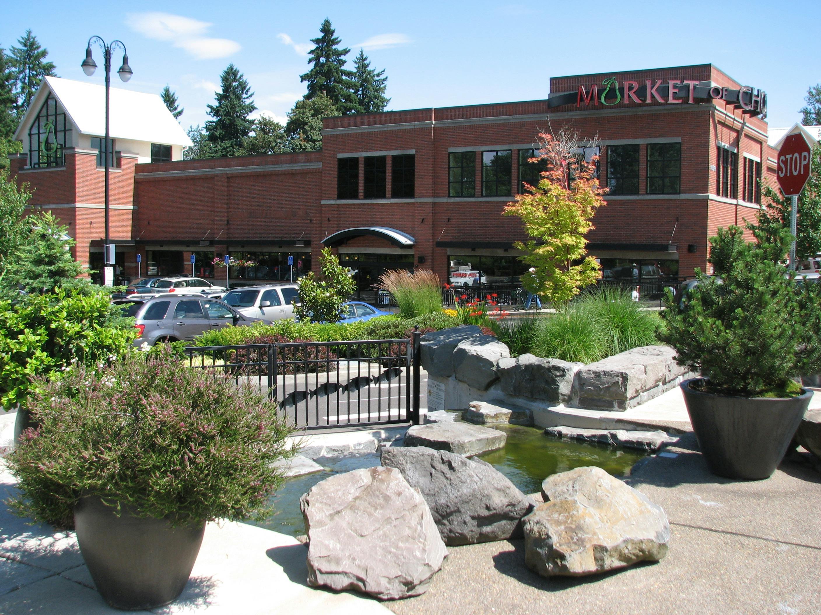
The VISION43 Plan recommends rezoning select commercial properties along Highway 43 to support mixed-use development that reflects community priorities and strengthens the local economy.
Based on the feedback received from community members, property owners, developers, and businesses, the City has prepared a final draft Mixed-Use Development Code for designated areas along the Highway 43 corridor (see maps). This draft is now ready for one last round of community review before it moves forward into the legislative process. The proposed code provides greater flexibility and encourages redevelopment within one of the City’s key commercial districts
The final draft Mixed-Use development code and the associated allowed uses form the new Mixed-Use Corridor zone that will implement the VISION43 Corridor Plan. This new zone will be adopted as a new chapter in the West Linn Community Development Code. The new code reflects extensive input gathered throughout the project from property owners, stakeholders, the Project Work Group, Neighborhood Association meetings, the Technical Advisory Group (TAG), the Planning Commission, City Council, and community surveys and open houses. Revised draft boundary maps for the Mixed-Use Corridor zone are also included and reflect stakeholder feedback.
The Mixed-Use Corridor Zone promotes a vibrant, walkable community by permitting a mix of residential, commercial, and other compatible uses that offer opportunities for housing, jobs, and recreation. These areas will serve as local and regional destinations and include safe, comfortable, and convenient options for walking, biking, taking transit, or driving. The Mixed-Use Corridor Zone is also intended to enhance pedestrian and bicycle connections to surrounding West Linn neighborhoods, reducing dependence on cars to access commercial, retail, restaurant, and recreation services.
Draft Mixed-Use Corridor Boundaries
The zoning maps show the proposed boundaries for the Mixed-Use Corridor zone. Input from City staff, the PWG, TAG, and the Planning Commission also helped guide which properties to include. The boundaries reflect the conceptual "Focus Areas" that were established for the Highway 43 corridor early in the project.
We welcome your thoughts on the draft code, including topics such as allowed uses, maximum building height, building and street frontage design, pedestrian and architectural standards, pedestrian improvement options, and bicycle improvement options before the code moves into the legislative process.
The Planning Commission will begin work sessions on the code this fall and will forward its recommendation to the City Council in late fall. The City Council is expected to consider adoption this winter. The public will have opportunities to comment during both Planning Commission and City Council review.
Your response is important. Please participate in this online open house by reviewing the final draft of the Mixed-Use Development Code and sharing your comments below. The forum will remain open through September 13, 2026.
The VISION43 Plan recommends rezoning select commercial properties along Highway 43 to support mixed-use development that reflects community priorities and strengthens the local economy.
Based on the feedback received from community members, property owners, developers, and businesses, the City has prepared a final draft Mixed-Use Development Code for designated areas along the Highway 43 corridor (see maps). This draft is now ready for one last round of community review before it moves forward into the legislative process. The proposed code provides greater flexibility and encourages redevelopment within one of the City’s key commercial districts
The final draft Mixed-Use development code and the associated allowed uses form the new Mixed-Use Corridor zone that will implement the VISION43 Corridor Plan. This new zone will be adopted as a new chapter in the West Linn Community Development Code. The new code reflects extensive input gathered throughout the project from property owners, stakeholders, the Project Work Group, Neighborhood Association meetings, the Technical Advisory Group (TAG), the Planning Commission, City Council, and community surveys and open houses. Revised draft boundary maps for the Mixed-Use Corridor zone are also included and reflect stakeholder feedback.
The Mixed-Use Corridor Zone promotes a vibrant, walkable community by permitting a mix of residential, commercial, and other compatible uses that offer opportunities for housing, jobs, and recreation. These areas will serve as local and regional destinations and include safe, comfortable, and convenient options for walking, biking, taking transit, or driving. The Mixed-Use Corridor Zone is also intended to enhance pedestrian and bicycle connections to surrounding West Linn neighborhoods, reducing dependence on cars to access commercial, retail, restaurant, and recreation services.
Draft Mixed-Use Corridor Boundaries
The zoning maps show the proposed boundaries for the Mixed-Use Corridor zone. Input from City staff, the PWG, TAG, and the Planning Commission also helped guide which properties to include. The boundaries reflect the conceptual "Focus Areas" that were established for the Highway 43 corridor early in the project.
We welcome your thoughts on the draft code, including topics such as allowed uses, maximum building height, building and street frontage design, pedestrian and architectural standards, pedestrian improvement options, and bicycle improvement options before the code moves into the legislative process.
The Planning Commission will begin work sessions on the code this fall and will forward its recommendation to the City Council in late fall. The City Council is expected to consider adoption this winter. The public will have opportunities to comment during both Planning Commission and City Council review.
Your response is important. Please participate in this online open house by reviewing the final draft of the Mixed-Use Development Code and sharing your comments below. The forum will remain open through September 13, 2026.


 Draft VISION43 Corridor Plan for Public Review (27.6 MB) (pdf)
Highway 43 Basics